About Tinonee
Tinonee is a small town on the banks of the Manning River, near Taree on the Mid North Coast, in the MidCoast Council area. It was founded in 1854 and had 840 people at the 2021 census.
It was one of the earliest European settlements on the Manning and was once a major commercial hub. It is on a road that once served as the main road from Sydney to Brisbane, now called the Bucketts Way. A punt, built, owned and operated by David Scott Targett, licensee of the Ferry Inn, once crossed the river between Tinonee and Taree Estate.
How Tinonee got here
A few dates and facts that shaped the place.
1854
Tinonee is founded, one of the earliest settlements on the river.
The punt
David Scott Targett’s punt links Tinonee to Taree Estate across the Manning.
The name
Probably from the Biripi “Tinobi”, big shark, or “Tinobah”, place of sharks.
More about Tinonee
The Biripi area takes in towns such as Taree, Wingham, Nabiac and Tinonee. The Biripi people travelled their country with the seasons and the availability of food, and traded with other nations for tools and food.
Write something…
Where is Tinonee?
Tinonee is in the MidCoast Council area on the Mid North Coast of New South Wales.
Nearby towns with hubs on OurHub, with straight-line distances: Taree (5 km north-east), Wingham (9 km north-west), Cundletown (11 km north-east), Burrell Creek (12 km west).
What the Tinonee directory lists
To eat and drink: Wild Fig Wholefood Cafe. Parks, beaches and recreation: Edinburgh Park, Fotheringham Park, Martin Reserve, William Wynter Park. Schools and learning: Bright Beginnings Childrens Centre, Manning Adventist School, Tinonee Public School.
Churches: Destiny Church, Saint John's, Wesleyan Methodist Church. Emergency services: Tinonee Rural Fire Brigade.
Get in touch
A question, something out of date, a group to link, or the keys to this hub: send it here and someone at OurHub will get back to you.
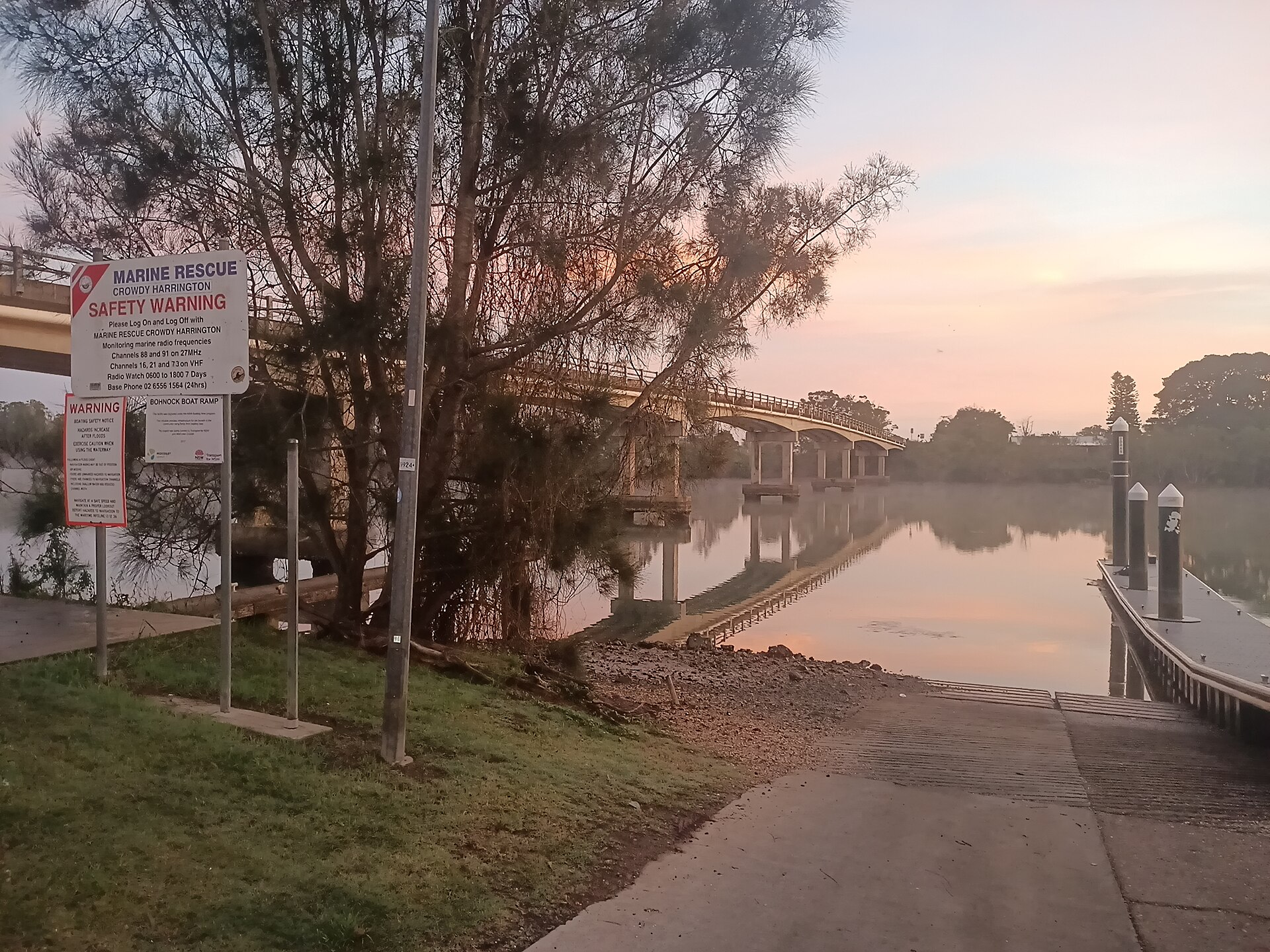
Photo: “Bohnock boat ramp Manning River Neville Weiley Bridge dawn reflection” by JaredMcKenzie (CC0), via Wikimedia Commons. It shows The Manning River, not Tinonee itself. Town facts: Wikipedia (CC BY-SA 4.0), which cites the Australian Bureau of Statistics census. Straight-line distances are worked out from the hub’s coordinates. Directory locations © OpenStreetMap contributors (ODbL).